About PRHPA:
Who Operates and Manages this LTAR Site?
Andrew Suyker (UNL), Galen Erickson (UNL), Tala Awada (UNL)
Bryan Woodbury (USDA-ARS-MARC, Clay Center) and Brian Wienhold (USDA-ARS-Lincoln)
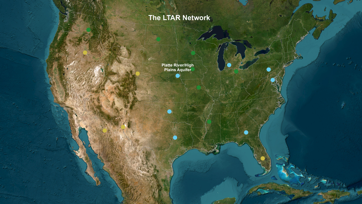
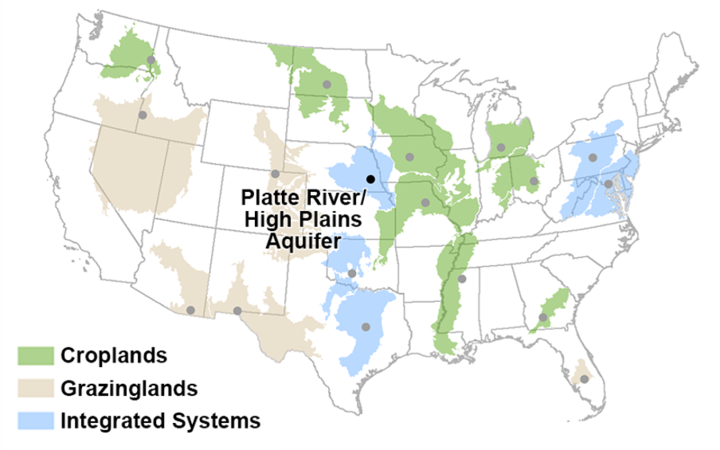
The Platte River – High Plains Aquifer (PR-HPA) is one of 18 established Long Term Agroecosystem Research (LTAR) networks across the US. PR-HPA is a partnership between the Institute of Agriculture and Natural Resources at the University of Nebraska-Lincoln (UNL), the USDA-ARS Agroecosystem Management Research Unit (AMRU) in Lincoln, and the USDA-ARS Environmental Management Research Unit (EMRU) in Clay Center, NE. The PR-HPA network encompasses 27,750 ha of research sites with data going back to the early 1900s.
Site Name
Platte River, High Plains Aquifer, Nebraska
Website
https://ltar.ars.usda.gov/sites/prhpa
Location
Nebraska
Established
1912
Area (km2)
Approximately 2.4 km2
Leader(s)
Virginia Jin and Marty Schmer
Our Mission:
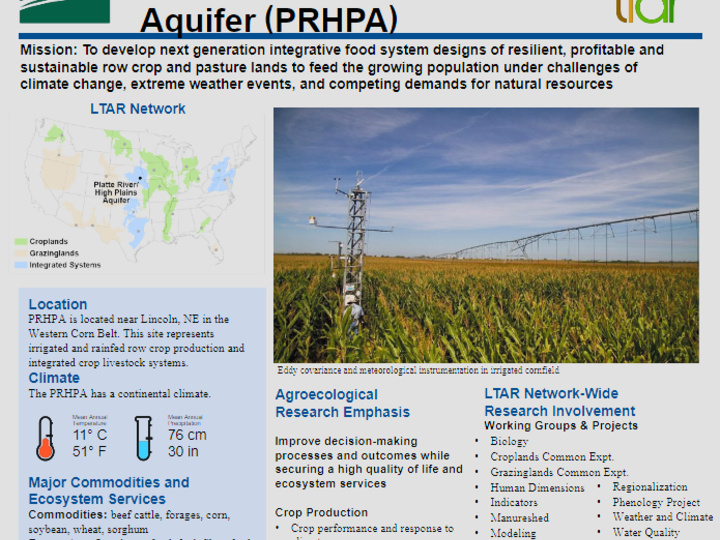
To develop next generation integrative food system designs of resilient, profitable, and sustainable row crop and pasture lands to feed the growing population under challenges of climate change, extreme weather events, and competing demands for natural resources.

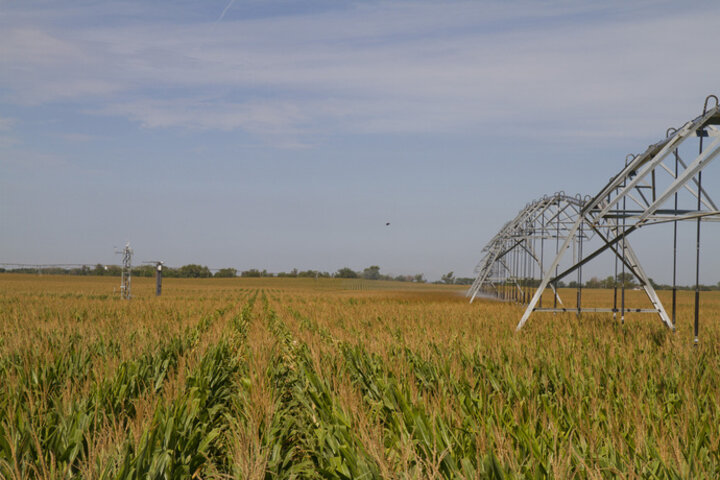
The Platte River High Plains Aquifer (PRHPA) Long-Term Agroecosystem Research (LTAR) conducts a majority of its research at the UNL’s Eastern Nebraska Research and Extension Center. The irrigated and rainfed croplands as well as the pasture sites are located within 41.18° N latitude and -96.44° W longitude, 360 asl).
These sites support aspirational research targeted towards adapting to emerging challenges that face Nebraska’s agro-ecosystems including corn, soybean and livestock farming production systems.
Major Commodities and Ecosystem Services
Commodities: beef cattle, forages, corn, soybean, wheat, sorghum
Ecosystem Services: food, fuel, fiber, feed, air quality, water cycling, carbon sequestration, nutrient cycling, greenhouse gas monitoring

Research Sites and Infrastructure
Eastern Nebraska Research and Extension Center (est. 1962 as Agricultural Research and Development Center)
Row crop and small grain production, grass dominated cool season pastures, micro-meteorological stations, eddy covariance (EC) flux towers, methane and nitrogen oxide sensors, high throughput field phenomics
South Central Agriculture Center (est. 1970)
Row crop production, meteorological station, EC flux tower.
Meat Animal Research Center (est. 1964)
Row crops, cool season pasture, EC flux tower.
For more information
Download our Handout!
For more information on our research emphases, site climate and geography, and the work we do, click the link below to download our updated 2024 handout.
Download

A partial list of ongoing research projects includes:
- Long-term manuring and continuous corn (Est. 1912)
- Dryland tillage plots (Est. 1970)
- Soil nutrients and tillage (Est. 1983)
- Biofuel feedstock studies (Est. 2001)
- Carbon sequestration study (Est. 2000)
Affiliated Partners
Affiliated partners include the National Drought Mitigation Center (NDMC) that develops measures to improve preparedness and adaptation to climate variability and drought; the High Plains Regional Climate Center (HPRCC) that coordinates data acquisition from over 170 automated weather stations and around 50 automated soil moisture network across NE and beyond; the AMERIFLUX and NEBFLUX networks that coordinate the water vapor and carbon dioxide flux measurements across NE with emphasis on rainfed and irrigated crop lands; the ARS Greenhouse gas Reduction through Agricultural Carbon Enhancement network (GRACEnet) and the Resilient Economic Agricultural Practices (REAP) project; and the Center for Advanced Land Management Information Technologies (CALMIT) that assists with the use of geospatial technologies for agriculture and natural resource applications.


